


Rad Mountain Biking Tour data:
Difficulty:mittel
Duration:1:55 h
Length:14.48 km
Ascent:478 hm
Descent:49 hm
Highest point:1.108 hm
Lowest point:670 hm
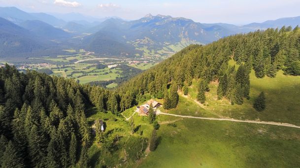
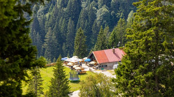
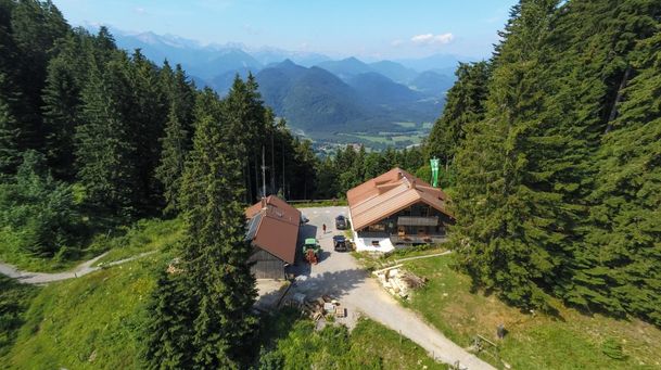
At the beginning you drive from Lenggries northward toward Steinbach. At the Steinbach you drive upsteam and follow the signs to Untermberg and Gaißach. On the road from Untermberg to Mühl you turn right to the district „Lehen“. From there you ride to the so called „Gaißacher Filzen“. At the end of the paved road you follow a well-maintained forest trail at the right side that goes slightly uphill. First of all the forest road goes past meadows, then it will lead you through a forest. Once you reach the top, the trail leads out of the forest and straight to the Schwaigeralm. Now you can enjoy the view, take a break or walk on to the Rechelkopf. To reacht this summit you have to hike round about 30 minutes. To come back to Lenggries you take the same way like before.
In case of emergency:
In case of emergency, please contact the nearest emergency dispatch center. You can reach them from anywhere in Germany by dialing 112.
All tours described by the Lenggries Tourist Information Office are undertaken at your own risk. The accuracy and completeness of the information cannot be guaranteed.
Streckenverlauf
GPX-Datei herunterladen
Impressionen

Parken
Öffentliche Verkehrsmittel
Anfahrt
Weitere Touren
mittel
Hirschbach valley loop hike
| Dauer | 9:00 h |
| Streckenlänge | 25.79 km |
mittel
Hikingtour from Lenggries / Winkl to Hochalm
| Dauer | 3:00 h |
| Streckenlänge | 6.29 km |
mittel
Hiking trip from Lenggries via Kotalm to the Brauneck
| Streckenlänge | 11.49 km |
mittel
Hikingtour form Lenggries to Geierstein
| Dauer | 4:30 h |
| Streckenlänge | 9.80 km |
mittel
From Lenggries to summit Seekar
| Dauer | 5:45 h |
| Streckenlänge | 12.72 km |
mittel
Hikingtour Lenggries – cabin Kirchsteinhütte/ hut hintere Längentalalm
| Dauer | 6:00 h |
| Streckenlänge | 23.60 km |
mittel
Lenggries – Schwarzenbachtal
| Dauer | 2:05 h |
| Streckenlänge | 8.26 km |
mittel
Big high-altitude trail - "großer Höhenweg"
| Dauer | 3:30 h |
| Streckenlänge | 6.33 km |
mittel
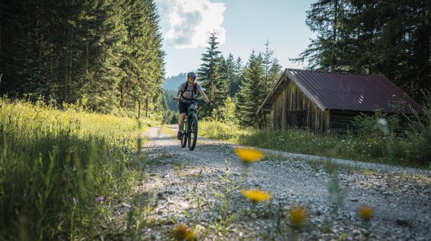
Mountain bike loop tour: from Lenggries via Hirschbachtal – Aueralm – Mariestein and back to Lenggries
| Dauer | 4:00 h |
| Streckenlänge | 43.30 km |
mittel
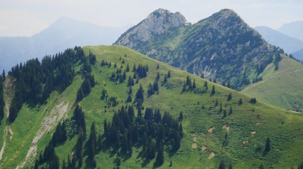
Hikingtour Lenggries – Ochsenkamp
| Dauer | 5:48 h |
| Streckenlänge | 14.03 km |
mittel
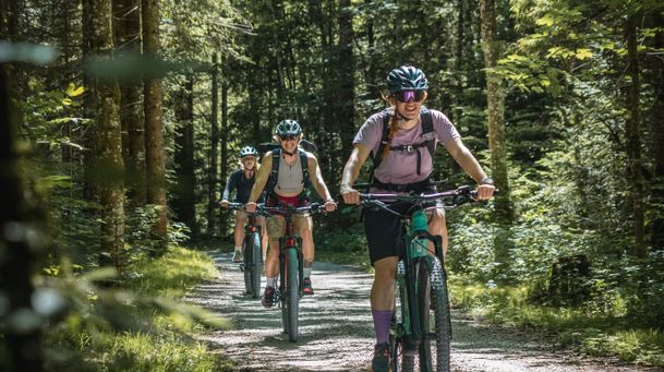
Mountain bike tour Lenggries – Gaißach to Schwaigeralm (not in operation)
| Dauer | 1:55 h |
| Streckenlänge | 14.48 km |