


Rad Bike Riding Road Cycling Tour data:
Difficulty:mittel
Length:73.90 km
Ascent:383 hm
Descent:386 hm
Highest point:897 hm
Lowest point:672 hm
From Lenggries you ride on the Isarpath into the south and via Wegscheid to Leger. After Leger the rout continues partly on the federal highway and partly on the new bike trail to Jachenau. From there you ride on to Niedernach at the lake Walchensee. You get there via the toll road to Einsiedel. A quick dip in the lake is a nice change of pace. If you want you can also take a short side trip to the peninsula Zwergern and the village Walchensee. Otherwise you continue to Wallgau via the bike trail. A few meters after entering Wallgau, turn left toward the golf course to reach the toll road that leads to Vorderriss. Reached in Vorderriss you follow the road and come to the second lake. The lake Sylvensteinsee. After passing the bridge over this lake, you come to the dam. At the junction you turn right, cross the dam and turn left into the bike tunnel. Follow this trail and you will come back to Lenggries.
In case of emergency:
In case of emergency, please contact the nearest emergency dispatch center. You can reach them from anywhere in Germany by dialing 112.
All tours described by the Lenggries Tourist Information Office are undertaken at your own risk. The accuracy and completeness of the information cannot be guaranteed.
Streckenverlauf
GPX-Datei herunterladen
Impressionen


Parken
Öffentliche Verkehrsmittel
Anfahrt
Weitere Touren
mittel
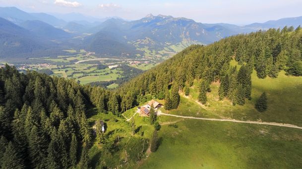
Hirschbach valley loop hike
| Dauer | 9:00 h |
| Streckenlänge | 25.79 km |
mittel
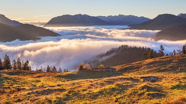
Hikingtour from Lenggries / Winkl to Hochalm
| Dauer | 3:00 h |
| Streckenlänge | 6.29 km |
mittel
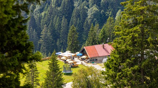
Hiking trip from Lenggries via Kotalm to the Brauneck
| Streckenlänge | 11.49 km |
mittel
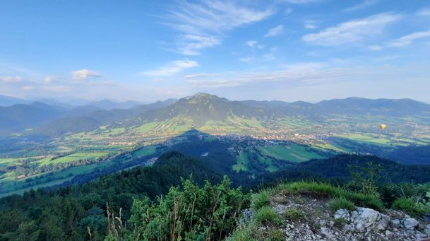
Hikingtour form Lenggries to Geierstein
| Dauer | 4:30 h |
| Streckenlänge | 9.80 km |
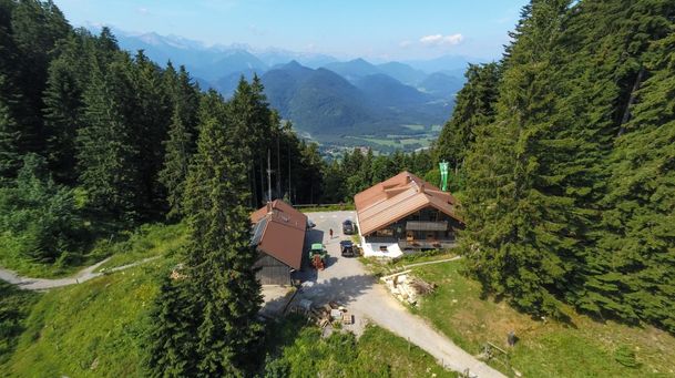
mittel
From Lenggries to summit Seekar
| Dauer | 5:45 h |
| Streckenlänge | 12.72 km |
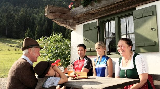
mittel
Hikingtour Lenggries – cabin Kirchsteinhütte/ hut hintere Längentalalm
| Dauer | 6:00 h |
| Streckenlänge | 23.60 km |

mittel
Round tour: Lenggries – Gaißach - Bad Tölz and back via Wackersberg
| Dauer | 2:30 h |
| Streckenlänge | 25.00 km |
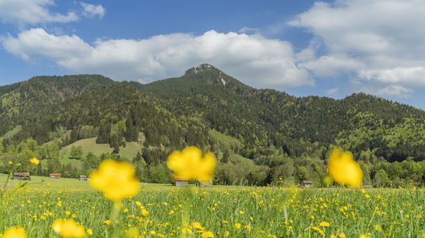
mittel
Lenggries – Schwarzenbachtal
| Dauer | 2:05 h |
| Streckenlänge | 8.26 km |
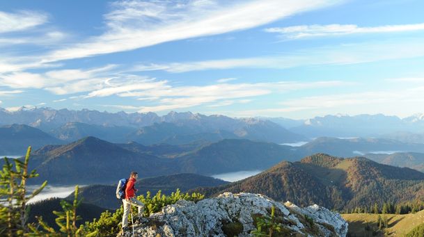
mittel
Big high-altitude trail - "großer Höhenweg"
| Dauer | 3:30 h |
| Streckenlänge | 6.33 km |
mittel
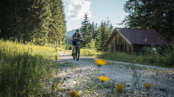
Mountain bike loop tour: from Lenggries via Hirschbachtal – Aueralm – Mariestein and back to Lenggries
| Dauer | 4:00 h |
| Streckenlänge | 43.30 km |
mittel
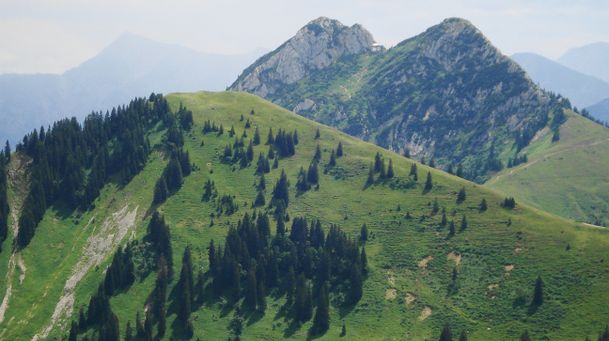
Hikingtour Lenggries – Ochsenkamp
| Dauer | 5:48 h |
| Streckenlänge | 14.03 km |
mittel
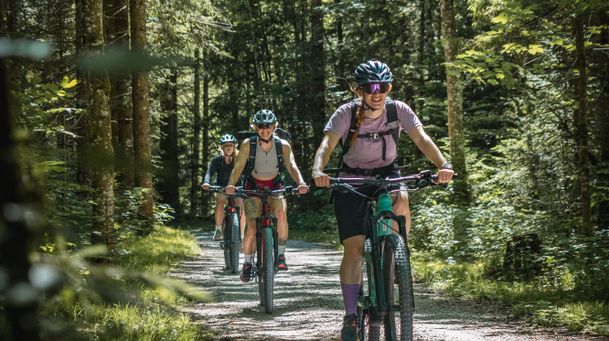
Mountain bike tour Lenggries – Gaißach to Schwaigeralm (not in operation)
| Dauer | 1:55 h |
| Streckenlänge | 14.48 km |

mittel
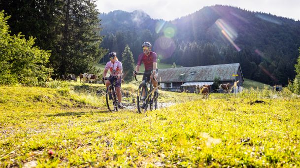
Bike tour Lenggries – Jachenau – Walchensee and back via Sylvensteinsee
| Streckenlänge | 73.90 km |
mittel
Round trip Lenggries – Blomber - hut Schnaiter Alm
| Dauer | 3:41 h |
| Streckenlänge | 34.60 km |

mittel
From Lenggries to cabin Lenggrieser Hütte
| Dauer | 2:30 h |
| Streckenlänge | 18.30 km |