


Mountain Hike Wandern/Berge Tour data:
Difficulty:mittel
Length:11.49 km
Ascent:825 hm
Descent:823 hm
Highest point:1.552 hm
Lowest point:725 hm
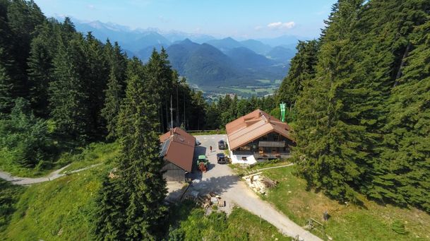
The tour starts at the Draxlhang parking lot. From there, follow the trail and the signs to the Kotalm. The trail begins to the left of the Draxlhang (ski lift), passes the Milchhäusl, and then runs for a short distance through the forest along the Murbach stream. The final few meters to the Kotalm are in a sunny spot. Above the Kotalm, turn left and follow a hiking trail up to a saddle. From there, head northwest through the forest. Continue along the trail until you reach the top station of the Brauneck Bergbahn via an iron staircase. Passing the Brauneck summit hut, you’ll reach the summit of the Brauneck (1,555 m).
First, head west along the ridge (high-altitude trail) toward Schrödelstein. Then turn left down to the Panoramaweg and follow the road southwest to the Quengeralm, which is open to the public. Follow this road downhill toward the forest, past the Bayernhütte and the Finstermünzalm (open only in winter). You’ll then reach the clearing at the Filzalm. From here, head eastward down to the flat meadows. At the “Brauneck-Bahn” sign, turn left onto a meadow path; after passing through a few fence openings, you’ll return to the Draxlhang parking lot.
Streckenverlauf
Impressionen


Parken
Öffentliche Verkehrsmittel
Anfahrt
Weitere Touren
mittel
Hikingtour Lenggries – Ochsenkamp
| Dauer | 5:48 h |
| Streckenlänge | 14.03 km |
mittel
Hirschbach valley loop hike
| Dauer | 9:00 h |
| Streckenlänge | 25.79 km |

mittel
From Lenggries to cabin Lenggrieser Hütte
| Dauer | 2:30 h |
| Streckenlänge | 18.30 km |
mittel
Lenggries – Schwarzenbachtal
| Dauer | 2:05 h |
| Streckenlänge | 8.26 km |
mittel
Round tour: from Lenggries via Sachsenkam to monastery Reutberg and back
| Dauer | 3:30 h |
| Streckenlänge | 46.00 km |
mittel
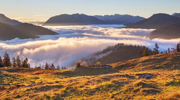
Hikingtour from Lenggries / Winkl to Hochalm
| Dauer | 3:00 h |
| Streckenlänge | 6.29 km |
mittel
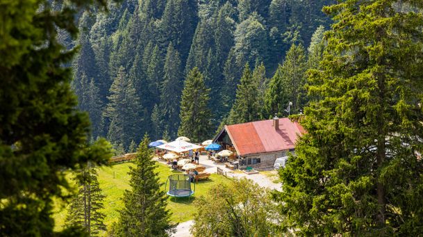
Hiking trip from Lenggries via Kotalm to the Brauneck
| Streckenlänge | 11.49 km |

mittel
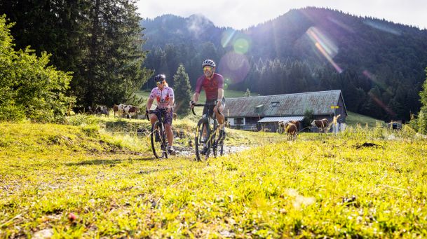
Bike tour Lenggries – Jachenau – Walchensee and back via Sylvensteinsee
| Streckenlänge | 73.90 km |
mittel
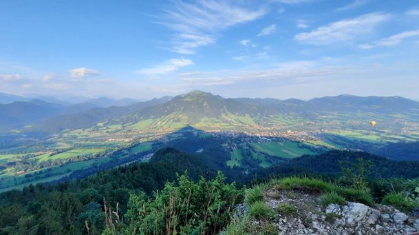
Round trip Lenggries – Blomber - hut Schnaiter Alm
| Dauer | 3:41 h |
| Streckenlänge | 34.60 km |
mittel
Hikingtour form Lenggries to Geierstein
| Dauer | 4:30 h |
| Streckenlänge | 9.80 km |
mittel
From Lenggries to summit Seekar
| Dauer | 5:45 h |
| Streckenlänge | 12.72 km |
mittel
Hikingtour Lenggries – cabin Kirchsteinhütte/ hut hintere Längentalalm
| Dauer | 6:00 h |
| Streckenlänge | 23.60 km |

mittel
Round tour: Lenggries – Gaißach - Bad Tölz and back via Wackersberg
| Dauer | 2:30 h |
| Streckenlänge | 25.00 km |
mittel
Mountain bike loop tour: from Lenggries via Hirschbachtal – Aueralm – Mariestein and back to Lenggries
| Dauer | 4:00 h |
| Streckenlänge | 43.30 km |
mittel
Big high-altitude trail - "großer Höhenweg"
| Dauer | 3:30 h |
| Streckenlänge | 6.33 km |
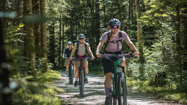
mittel
Mountain bike tour Lenggries – Gaißach to Schwaigeralm (not in operation)
| Dauer | 1:55 h |
| Streckenlänge | 14.48 km |