


Mountain Hike Wandern/Berge Tour data:
Difficulty:mittel
Duration:9:00 h
Length:25.79 km
Ascent:2.073 hm
Descent:2.073 hm
Highest point:1.607 hm
Lowest point:712 hm
The surrounding of the Hirschbach valley is a long and challenging tour, but the fantastic view will be your reward.
Option 1: From the car lot Mühlbach you go northern through the forest, pass a fishing pond to reach the pond of Hohenburg. There you turn right and cross a small bridge. Go half around the pond, turn right again and follow the sign to Geierstein. You follow the path, pass a rest point called „Markeck“ (1075 meters), and reach the first summit „Geierstein“ (1483 meters). Now you walk some meters downhill the same way you came up. At the sign you follow the path to Fockenstein (1564 meters). From the summit Fockenstein the next stop is the top of the Hirschbachsattel (1224 meters).
Option 2: From the car lot Mühlbach you hike through the Hirschbachvally to the Hirschbachsattl (1,224 m) and start directly with the hikes to the Kampen.
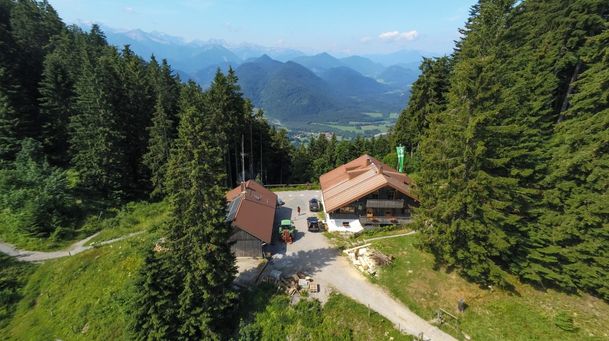
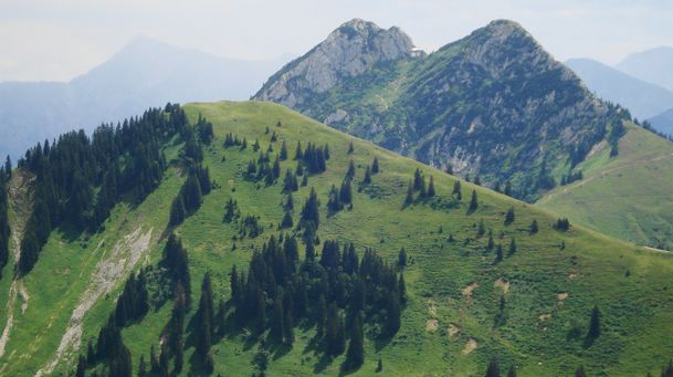
Across the Hirschbachsattel, the trail to the Kampen starts steeply upward. This path is eroded and winds through mountain pines. Here you have the opportunity to turn left and make a detour to the Ochsenkamp (1,595 m). Now comes the Auerkamp (1,607 m) and the Spitzkamp (1,603 m). Via a partially secured and restored rock trail, you reach a pass (1,510 m) along a road north of the Brandkopf. Beyond the pass, the trail climbs over a narrow meadow ridge to the Seekarkreuz (1,601 m). You go down at the other side of the summit and come to the hut „Lenggrieser Hütte“. After a well-deserved break, it's now time to walk the last few meters back to the starting point in the vally.
In case of emergency:
In case of emergency, please contact the nearest emergency dispatch center. You can reach them from anywhere in Germany by dialing 112.
All tours described by the Lenggries Tourist Information Office are undertaken at your own risk. The accuracy and completeness of the information cannot be guaranteed.
Streckenverlauf
GPX-Datei herunterladen
Impressionen


Parken
Öffentliche Verkehrsmittel
Anfahrt
Weitere Touren
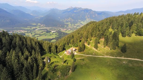
mittel
Hirschbach valley loop hike
| Dauer | 9:00 h |
| Streckenlänge | 25.79 km |
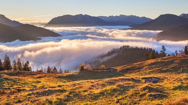
mittel
Hikingtour from Lenggries / Winkl to Hochalm
| Dauer | 3:00 h |
| Streckenlänge | 6.29 km |
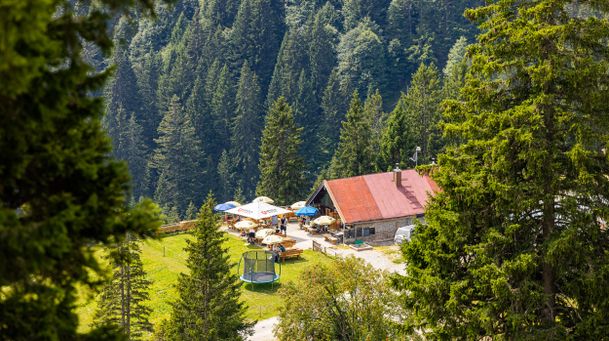
mittel
Hiking trip from Lenggries via Kotalm to the Brauneck
| Streckenlänge | 11.49 km |
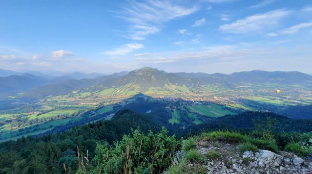
mittel
Hikingtour form Lenggries to Geierstein
| Dauer | 4:30 h |
| Streckenlänge | 9.80 km |
mittel
From Lenggries to summit Seekar
| Dauer | 5:45 h |
| Streckenlänge | 12.72 km |
mittel
Hikingtour Lenggries – cabin Kirchsteinhütte/ hut hintere Längentalalm
| Dauer | 6:00 h |
| Streckenlänge | 23.60 km |
mittel
Lenggries – Schwarzenbachtal
| Dauer | 2:05 h |
| Streckenlänge | 8.26 km |
mittel
Big high-altitude trail - "großer Höhenweg"
| Dauer | 3:30 h |
| Streckenlänge | 6.33 km |
mittel
Hikingtour Lenggries – Ochsenkamp
| Dauer | 5:48 h |
| Streckenlänge | 14.03 km |