


Mountain Hike Wandern/Berge Tour data:
Ausgangspunkt:
Parkplatz an der Talstation der Brauneck Bergbahn
Endpunkt:
Parkplatz an der Talstation der Brauneck Bergbahn
Difficulty:mittel
Duration:3:30 h
Length:6.33 km
Ascent:422 hm
Descent:422 hm
Highest point:1.712 hm
Lowest point:1.393 hm
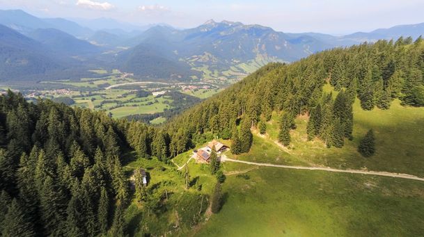
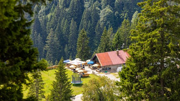
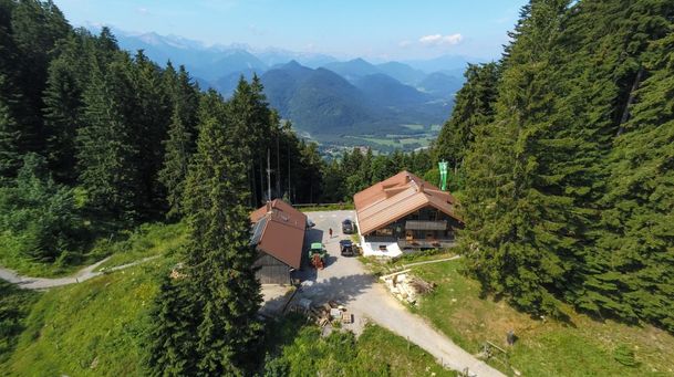
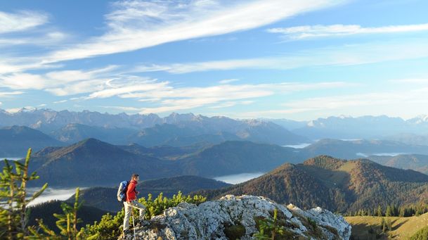
From Lenggries you start with the cable car on the Brauneck, the local mountain of Lenggries. The tour starts at the mountain railway station. From here we are hiking approx. 10 minutes to the top of the mountain and the summit cross. After that a narrow path goes to the Schrödelstein. From there we go on a small trail from Stangeneck to Kirchstein and to the scenic Latschenkopf (1,712 m). From the Latschenkopf, the trail (partly rough scree) now leads you down to the “Gatterl” (junction for Benediktenwand and Längental). From here, keep to the left and continue along the southern flank back to the Idealhang and down to the Stie Alm, which is open to the public. Here you can take a break or hike back toward the Brauneck Bergbahn. Along the way, you can stop for refreshments at the Quenger Alm or the Tölzer Hütte while enjoying the beautiful mountain panorama. The return trip to the mountain station follows an easy path through the alpine pastureland. You can take the gondola back down to Lenggries or walk.
Streckenverlauf
GPX-Datei herunterladen
Impressionen


Directions:
Bergstation - Brauneckgipfel - Stangeneck - Kirchstein - Latschenkopf (1.712 Meter); ab hier leichter Abstieg zum "Gatterl" (Abzweigung Benediktenwand und Längental) - hier nach links zum Idealhanglift - Stiehang - Quengeralm - Tölzer Hütte - Bergstation.
Parken
Parkplatz an der Talstation der Brauneck Bergbahn
Öffentliche Verkehrsmittel
Mit dem Zug (BRB) nach Lenggries. Vom Bahnhof weiter mit dem Bus 9564 zur Haltestelle "Lenggries Brauneckbahn".
Anfahrt
Von München auf der A8 bis zur Ausfahrt "Holzkirchen" von dort aus weiter nach Bad Tölz und über die B 13 nach Lenggries, Beschilderung in Richtung Brauneck Bergbahn folgen.
Sicherheitshinweise & Ausrüstung
An einigen Stellen ist Trittsicherheit erforderlich.
feste Bergschuhe, Wanderstöcke, Rucksack mit Verpflegung
Weitere Touren
mittel
Hirschbach valley loop hike
| Dauer | 9:00 h |
| Streckenlänge | 25.79 km |
mittel
Hikingtour from Lenggries / Winkl to Hochalm
| Dauer | 3:00 h |
| Streckenlänge | 6.29 km |
mittel
Hiking trip from Lenggries via Kotalm to the Brauneck
| Streckenlänge | 11.49 km |
mittel
Hikingtour form Lenggries to Geierstein
| Dauer | 4:30 h |
| Streckenlänge | 9.80 km |
mittel
From Lenggries to summit Seekar
| Dauer | 5:45 h |
| Streckenlänge | 12.72 km |
mittel
Hikingtour Lenggries – cabin Kirchsteinhütte/ hut hintere Längentalalm
| Dauer | 6:00 h |
| Streckenlänge | 23.60 km |
mittel
Lenggries – Schwarzenbachtal
| Dauer | 2:05 h |
| Streckenlänge | 8.26 km |
mittel
Big high-altitude trail - "großer Höhenweg"
| Dauer | 3:30 h |
| Streckenlänge | 6.33 km |
mittel
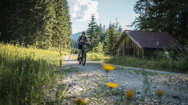
Mountain bike loop tour: from Lenggries via Hirschbachtal – Aueralm – Mariestein and back to Lenggries
| Dauer | 4:00 h |
| Streckenlänge | 43.30 km |
mittel
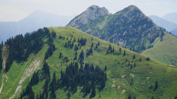
Hikingtour Lenggries – Ochsenkamp
| Dauer | 5:48 h |
| Streckenlänge | 14.03 km |
mittel
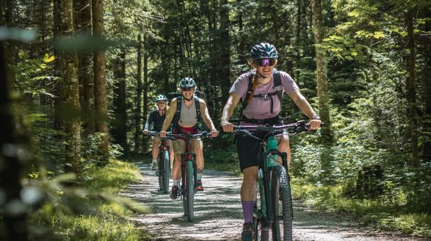
Mountain bike tour Lenggries – Gaißach to Schwaigeralm (not in operation)
| Dauer | 1:55 h |
| Streckenlänge | 14.48 km |