


Mountain Hike Wandern/Berge Tour data:
Difficulty:mittel
Duration:5:45 h
Length:12.72 km
Ascent:886 hm
Descent:886 hm
Highest point:1.596 hm
Lowest point:712 hm
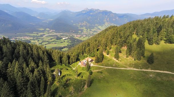
The tour starts at the car park Mühlbach behind the castle Hohenburg. From here you follow the signs „Sulzersteig – Lenggrieser Hütte – Seekarkreuz“. The first part of the tour goes on a forest street through the Hirschbach vally. You follow this way till a little bridge. Before the bridge you turn right on a smal path and follow the signs „Lenggrieser Hptte über Sulzersteig“. This path goes through the mountain forest until you come back to a forest street. You turn right to the cabin Lenggriesr Hütte. At the cabin (opened every day in summer months) you can take a break or walk on to the last part of the tour to the summit of the Seekar.
In case of emergency
In case of emergency, please contact the nearest emergency dispatch center. You can reach them from anywhere in Germany by dialing 112.
All tours described by the Lenggries Tourist Information Office are undertaken at your own risk. The accuracy and completeness of the information cannot be guaranteed.
Streckenverlauf
GPX-Datei herunterladen
Impressionen


Parken
Öffentliche Verkehrsmittel
Anfahrt
Weitere Touren
mittel
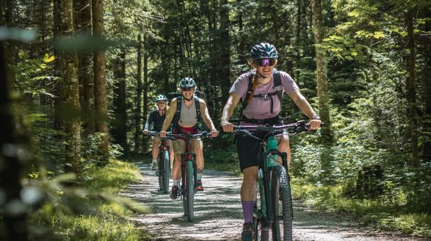
Mountain bike tour Lenggries – Gaißach to Schwaigeralm (not in operation)
| Dauer | 1:55 h |
| Streckenlänge | 14.48 km |
mittel
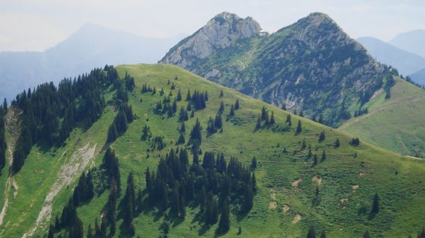
Hikingtour Lenggries – Ochsenkamp
| Dauer | 5:48 h |
| Streckenlänge | 14.03 km |

mittel
Bike tour Lenggries – Jachenau – Walchensee and back via Sylvensteinsee
| Streckenlänge | 73.90 km |

mittel
Round tour: Lenggries – Gaißach - Bad Tölz and back via Wackersberg
| Dauer | 2:30 h |
| Streckenlänge | 25.00 km |
mittel
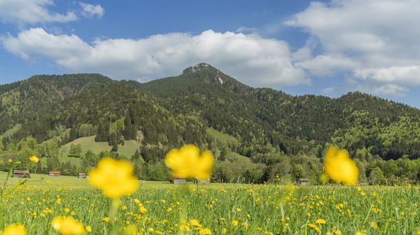
Lenggries – Schwarzenbachtal
| Dauer | 2:05 h |
| Streckenlänge | 8.26 km |
mittel
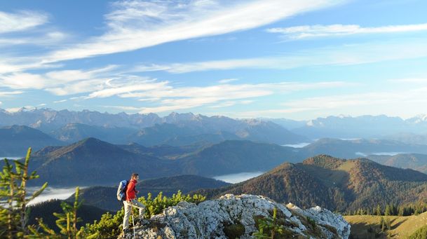
Big high-altitude trail - "großer Höhenweg"
| Dauer | 3:30 h |
| Streckenlänge | 6.33 km |
mittel
Hikingtour from Lenggries / Winkl to Hochalm
| Dauer | 3:00 h |
| Streckenlänge | 6.29 km |
mittel
Hiking trip from Lenggries via Kotalm to the Brauneck
| Streckenlänge | 11.49 km |
mittel
Round trip Lenggries – Blomber - hut Schnaiter Alm
| Dauer | 3:41 h |
| Streckenlänge | 34.60 km |
mittel
Hikingtour form Lenggries to Geierstein
| Dauer | 4:30 h |
| Streckenlänge | 9.80 km |

mittel
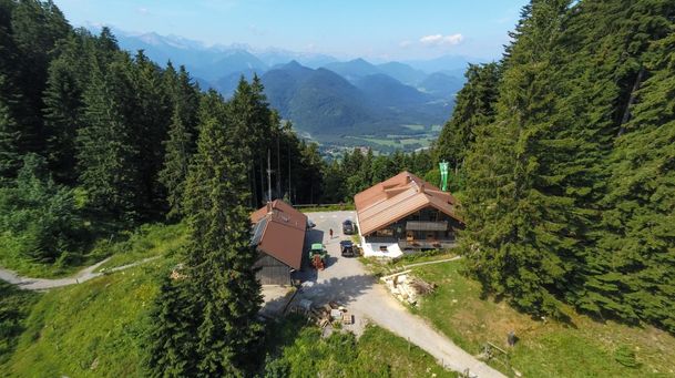
From Lenggries to cabin Lenggrieser Hütte
| Dauer | 2:30 h |
| Streckenlänge | 18.30 km |
mittel
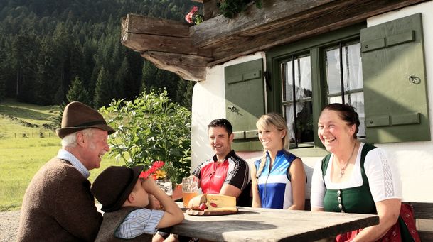
From Lenggries to summit Seekar
| Dauer | 5:45 h |
| Streckenlänge | 12.72 km |
mittel
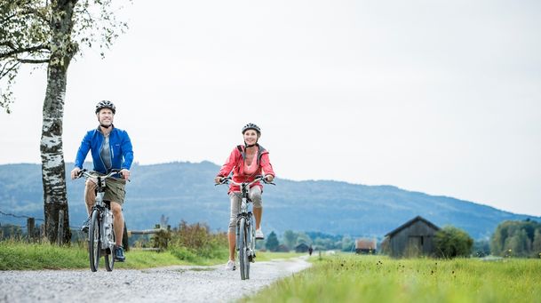
Hikingtour Lenggries – cabin Kirchsteinhütte/ hut hintere Längentalalm
| Dauer | 6:00 h |
| Streckenlänge | 23.60 km |
mittel
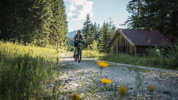
Round tour: from Lenggries via Sachsenkam to monastery Reutberg and back
| Dauer | 3:30 h |
| Streckenlänge | 46.00 km |
mittel
Mountain bike loop tour: from Lenggries via Hirschbachtal – Aueralm – Mariestein and back to Lenggries
| Dauer | 4:00 h |
| Streckenlänge | 43.30 km |
mittel
Hirschbach valley loop hike
| Dauer | 9:00 h |
| Streckenlänge | 25.79 km |