


Rad Mountain Biking Tour data:
Difficulty:schwer
Duration:3:50 h
Length:34.00 km
Ascent:469 hm
Descent:469 hm
Highest point:973 hm
Lowest point:672 hm
From Lenggries follow the Isarpath to Leger. Behind the cafè Landerer Mühle you turn left and follow the road past the swimming spot Jachen. Keep to the right side and ride to the so called „Rehgraben“. Here you take the left junktion (steeply ascending section with a stretch from 800 meters where you have to push the bike) to the hut Rehgrabenalm. You follow the forest road through a raised bog. After five kilometers turn to the left and follow the sign to Fall/Schronbachtal. Don`t drive down to Höfen. Ride up a short incline to the top and then downhill into the Schronbach Valley. In winding roads it goes downhill to the hut of the Schronbach vally, the Schronbachalm and down to the road B13. Now you have to ride five minutes on this road up to the dam. Cross the dam and ride through the bike tunnel. Now you only have to follow the bike path and come to Winkel and Fleck. After the district Felck you can ride on the Isarpath to Lenggries.
In case of emergency:
In case of emergency, please contact the nearest emergency dispatch center. You can reach them from anywhere in Germany by dialing 112.
All tours described by the Lenggries Tourist Information Office are undertaken at your own risk. The accuracy and completeness of the information cannot be guaranteed.
Streckenverlauf
GPX-Datei herunterladen
Impressionen

Parken
Öffentliche Verkehrsmittel
Anfahrt
Weitere Touren
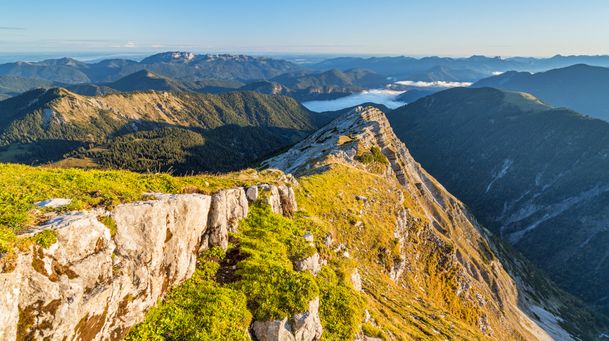
schwer
Hiking tour Lenggries - Schafreuter
| Dauer | 6:30 h |
| Streckenlänge | 10.58 km |
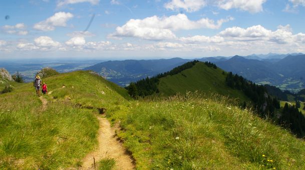
schwer
Benediktenwand - from Lenggries to the Benediktenwand
| Dauer | 6:30 h |
| Streckenlänge | 11.97 km |
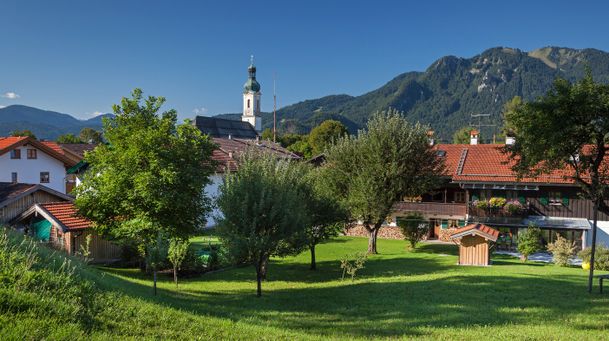
schwer
Longterm bycicle tour: Lenggries – Kochelsee – Walchensee – Jachenau (perfect with electric bike)
| Dauer | 5:00 h |
| Streckenlänge | 75.00 km |
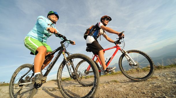
schwer
Combined mountain bike and passenger car tour: from Lenggries to Fall – Achenwald – Rotwandalm (Juifen) – Aquila - Fall
| Streckenlänge | 41.03 km |
schwer
Roundtrip: From Lenggries via Jachenau – Kochel – Arzbach and back to Lenggries
| Dauer | 7:00 h |
| Streckenlänge | 61.20 km |
schwer
Hikingtour Lenggries – Roß- und Buchstein
| Dauer | 4:05 h |
| Streckenlänge | 9.40 km |
schwer
From Lenggries via Jachenau to the hut Bichler Alm
| Dauer | 5:00 h |
| Streckenlänge | 46.00 km |
schwer
Round trip: From Lenggries via Leger to Schronbach - Sylvensteinsee and back to Lenggries
| Dauer | 3:50 h |
| Streckenlänge | 34.00 km |