


Rad Mountain Biking Tour data:
Difficulty:schwer
Length:41.03 km
Ascent:904 hm
Descent:906 hm
Highest point:1.525 hm
Lowest point:757 hm
First of all it goes from Lenggries with the car to the district Fall. Here you have the possibility to park at the right and left side of the road directly after you`ve crossed the bridge over the Sylvensteinsee. Of course you also have the possibility to ride to Fall by bike, but if you want to do that you realy need a very good endurance.
Now you ride by bike via the road Bächentalstraße over the Dürrachklamm bridge. At the junction you turn left and ride on the forest road a few meters above the Sylvensteinsee. Through the forest you come to the next bridge that`s named „Walchenklammbrücke“.
You pass the bridge and follow the bike trail. The route to Hagen is such that, apart from crossing the street once, you can stay on the bike path the entire way and never have to use the federal highway. Reached at Hagen (ca 2 kilometers after passing the border to Austria) you ride only a couple of meters on the federal highway, before you turn right on the forest road to Rotwanalm-Juifen.
From the forest road you turn right at the descent to the vally Bächental and come to the forest house Aquila (no service). Back it goes via the Bächental to Fall, where you can go to a restaurante or enjoy a final jump in the cool water of lake Sylvensteinsee.
In case of emergency:
In case of emergency, please contact the nearest emergency dispatch center. You can reach them from anywhere in Germany by dialing 112.
All tours described by the Lenggries Tourist Information Office are undertaken at your own risk. The accuracy and completeness of the information cannot be guaranteed.
Streckenverlauf
GPX-Datei herunterladen
Impressionen

Parken
Öffentliche Verkehrsmittel
Anfahrt
Weitere Touren
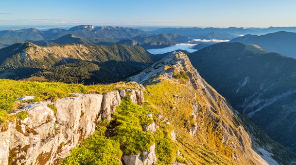
schwer
Hiking tour Lenggries - Schafreuter
| Dauer | 6:30 h |
| Streckenlänge | 10.58 km |
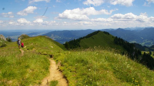
schwer
Benediktenwand - from Lenggries to the Benediktenwand
| Dauer | 6:30 h |
| Streckenlänge | 11.97 km |
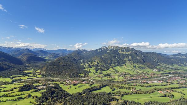
schwer
Roundtrip: From Lenggries via Jachenau – Kochel – Arzbach and back to Lenggries
| Dauer | 7:00 h |
| Streckenlänge | 61.20 km |
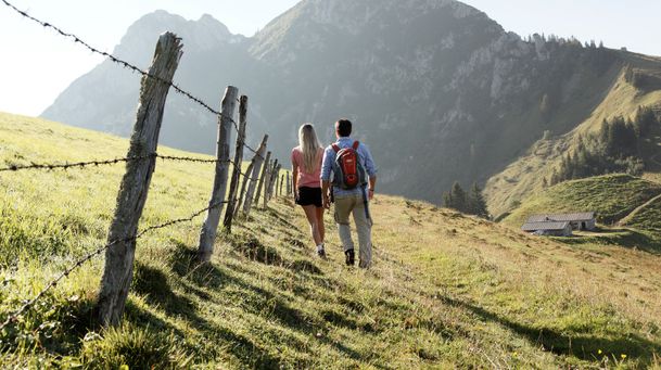
schwer
Hikingtour Lenggries – Roß- und Buchstein
| Dauer | 4:05 h |
| Streckenlänge | 9.40 km |
schwer
Longterm bycicle tour: Lenggries – Kochelsee – Walchensee – Jachenau (perfect with electric bike)
| Dauer | 5:00 h |
| Streckenlänge | 75.00 km |
schwer
Combined mountain bike and passenger car tour: from Lenggries to Fall – Achenwald – Rotwandalm (Juifen) – Aquila - Fall
| Streckenlänge | 41.03 km |