


Rad Mountain Biking Tour data:
Difficulty:schwer
Duration:5:00 h
Length:46.00 km
Ascent:900 hm
From Lenggries it goes via the Isarpath to Leger. Behind the cafè Landerer Mühle you turn left and follow the forest road to Rehgraben. At the junktion where you have to decide if you turn right uphill or left downhill, you turn left and come to the bike path. This leads you to the distict Petern of the Jachenau. There you turn right to the car lot for hikers and follow the forest road. After a few meters, turn onto the steep forest trail to Benediktbeuer. At the Langenecksattel you follow the sign to Bichler Alm/Benediktenwand. The last 200 elevation gains to the hut you need good riding skills because of the rough trail. An other option is to walk the last few meters (round about 40 minutes). Once reached the Bichler you can enjoy the fantastic view with something to eat and drink (hut opened form June untill the middle of October, closed on Mondays and Tuesdays). You come back to Lenggries on the same way you came up.
In case of emergency:
In case of emergency, please contact the nearest emergency dispatch center. You can reach them from anywhere in Germany by dialing 112.
All tours described by the Lenggries Tourist Information Office are undertaken at your own risk. The accuracy and completeness of the information cannot be guaranteed.
Streckenverlauf
GPX-Datei herunterladen
Impressionen

Parken
Öffentliche Verkehrsmittel
Anfahrt
Weitere Touren
schwer
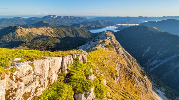
Hiking tour Lenggries - Schafreuter
| Dauer | 6:30 h |
| Streckenlänge | 10.58 km |
schwer
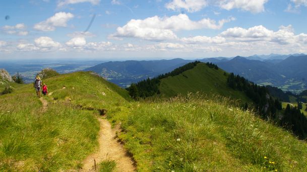
Benediktenwand - from Lenggries to the Benediktenwand
| Dauer | 6:30 h |
| Streckenlänge | 11.97 km |
schwer
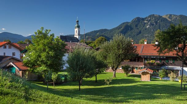
Longterm bycicle tour: Lenggries – Kochelsee – Walchensee – Jachenau (perfect with electric bike)
| Dauer | 5:00 h |
| Streckenlänge | 75.00 km |
schwer
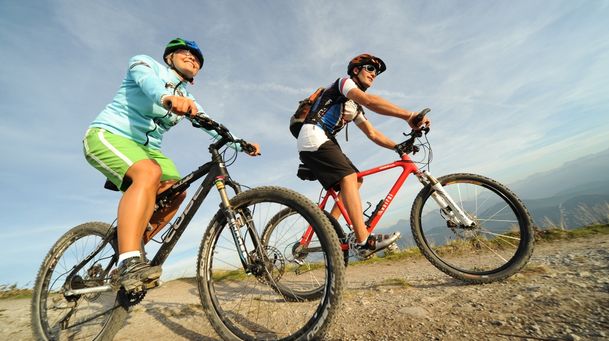
Combined mountain bike and passenger car tour: from Lenggries to Fall – Achenwald – Rotwandalm (Juifen) – Aquila - Fall
| Streckenlänge | 41.03 km |
schwer
Roundtrip: From Lenggries via Jachenau – Kochel – Arzbach and back to Lenggries
| Dauer | 7:00 h |
| Streckenlänge | 61.20 km |
schwer
Hikingtour Lenggries – Roß- und Buchstein
| Dauer | 4:05 h |
| Streckenlänge | 9.40 km |
schwer
From Lenggries via Jachenau to the hut Bichler Alm
| Dauer | 5:00 h |
| Streckenlänge | 46.00 km |
schwer
Round trip: From Lenggries via Leger to Schronbach - Sylvensteinsee and back to Lenggries
| Dauer | 3:50 h |
| Streckenlänge | 34.00 km |