Mountain Hike Wandern/Berge Tour data:
Difficulty:schwer
Duration:6:30 h
Length:10.58 km
Ascent:1.220 hm
Descent:425 hm
Highest point:2.069 hm
Lowest point:842 hm
The popular skitour mountain is also in summer months a well known mountain destination. The Schafreuter is a true classic. If the weather is sunny you won`t be on your own onto the summit. Most people take the trail via the Tölzer Hütte (1,835 m), 3 ½ hours to the summit. A bit longer but more varied is the ascent via the so called „Moosenalm“ and the north ridge. There are plenty of great views along the way up and on the promenade back to the Moosenalm.
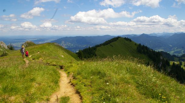
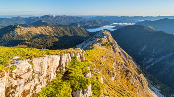
The ascent via the Moosenalm starts with steeply upway switchbacks on a forest road. Time by time you have a look to the Rißbachvally and the Soiernspitze. The path is good marked and you follow the signs „Schafreuter“. The first part of the tour is done when you reach the „Kälbereck“ (1,757 m). Here you have a first view to the north-facing cirque below the Schafreuter, the lake Sylvensteinsee and the summit of Schafreuter. The last hour of the ascent goes along a ridge and across the grassy mountain ridge to the summit (2,101 m).
The first part of the descent is down a rocky gully (difficult sections with wire rope!). Then you hike on a path to the Tölzer Hütte. Ther you can do a break and stop for a meal. Now head west along the base of the Schafreuter from the Tölzer Hütte back to Moosenalm. On this way ther`s a short section you have to walk uphill again but it will be rewarded with a fantastic view. Back from the Moosenalm you take the same way back to the start of the tour.
In case of emergency:
In case of emergency, please contact the nearest emergency dispatch center. You can reach them from anywhere in Germany by dialing 112.
All tours described by the Lenggries Tourist Information Office are undertaken at your own risk. The accuracy and completeness of the information cannot be guaranteed.
Streckenverlauf
Impressionen

Parken
Öffentliche Verkehrsmittel
Anfahrt