


Mountain Hike Wandern/Berge Tour data:
Difficulty:einfach
Duration:4:30 h
Length:17.89 km
Ascent:656 hm
Descent:656 hm
Highest point:1.334 hm
Lowest point:678 hm
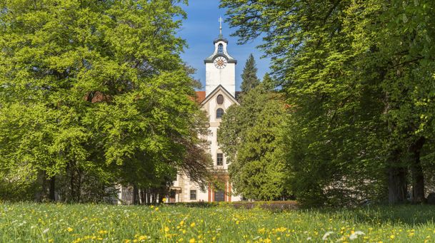
From the parking lot on the Karwendelstreet you follow the „Großherzogin-Maria-Anna-Weg“ to the castle Hohenburg. You pass the castle and follow the tree lined path to an horse farm. Now you walk on a forest road until you reach the „Hirschbachsattl“. If you reached the highest point of the street you turn left and follow the signs to „Fockenstein – Aueralm“ through the forest. After passing the forest you come through a raised bog and than you can see the hut „Aueralm“ (staffed hut, closed on Monday). From now on you follow the path through the „Söllbachtal“ and come tot he village Bad Wiessee. There you take the bus that stops at the busstop „Post“ to come back to Bad Tölz and Lenggries or go to Tegernsee by ship and from ther by train to Schaftlach, Bad Tölz and Lenggries (train times drives once per hour). If you stay in Tegernsee you although have to go to the well-known restaurant „Bräustüberl“.
In case of emergency:
In case of emergency, please contact the nearest emergency dispatch center. You can reach them from anywhere in Germany by dialing 112.
All tours described by the Lenggries Tourist Information Office are undertaken at your own risk. The accuracy and completeness of the information cannot be guaranteed.
Streckenverlauf
GPX-Datei herunterladen
Impressionen


Parken
Öffentliche Verkehrsmittel
Anfahrt
Weitere Touren
einfach
Round trip: Lenggries – Mühlbach – Lasseln
| Dauer | 1:30 h |
| Streckenlänge | 12.00 km |
einfach
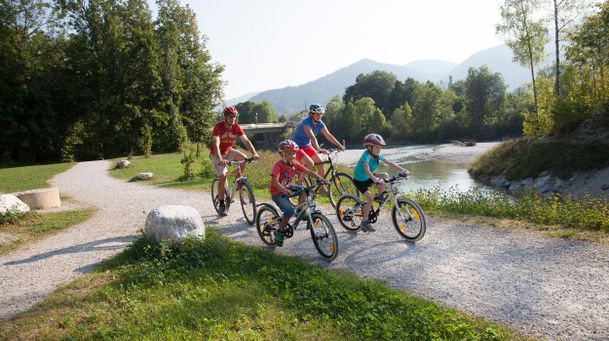
Round tour: Lenggries via Wegscheid to Leger
| Dauer | 1:00 h |
| Streckenlänge | 13.00 km |
einfach
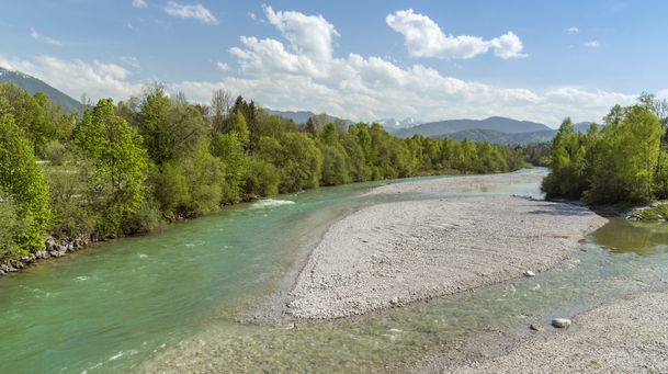
From Lenggries along the Isar to Bad Tölz
| Dauer | 2:00 h |
| Streckenlänge | 20.90 km |
einfach
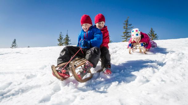
Rodelbahn am Milchhäusl Lenggries - Wegscheid
| Dauer | 0:27 h |
| Streckenlänge | 1.06 km |
einfach
Lenggries - Hohenburg - Lasseln - Holz – Fleck
| Dauer | 3:00 h |
| Streckenlänge | 15.36 km |

einfach
Lenggries – Leger
| Dauer | 3:00 h |
| Streckenlänge | 11.40 km |
einfach
On the Isar cycle path: Lenggries - Bad Tölz circuit
| Dauer | 2:00 h |
| Streckenlänge | 22.00 km |
einfach
Trek Lenggries - Tegernsee
| Dauer | 4:30 h |
| Streckenlänge | 17.89 km |
einfach
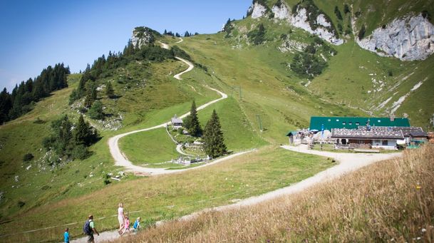
From Lenggries to the Reiseralm - "von Lenggries zur Reiseralm"
| Dauer | 1:00 h |
| Streckenlänge | 2.72 km |
einfach
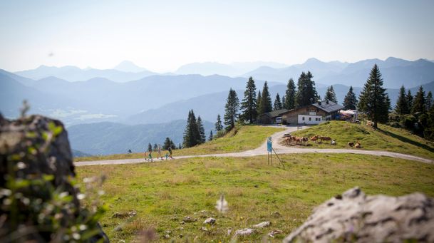
short mountain trail - "kleiner Höhenweg"
| Dauer | 1:00 h |
| Streckenlänge | 2.56 km |
einfach
Lenggries - Brauneck - alpine pasture hike - "Almwanderung"
| Dauer | 2:00 h |
| Streckenlänge | 3.65 km |