


Hiking route Wandern/Berge Tour data:
Difficulty:einfach
Duration:1:00 h
Length:2.56 km
Ascent:148 hm
Descent:148 hm
Highest point:1.555 hm
Lowest point:1.456 hm
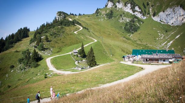
From the mountain station, the trail climbs briefly to the Brauneck summit cross, offering an uniquely fascinating view of the Karwendel’s high Alpine range and, to the north, a beautiful vista of the Isar Valley all the way to Bad Tölz—and, in good weather, as far as Munich and the lake Starnbergersee. From here, the trail heads west past the paragliding and hang gliding launch site, then along a path below the Schrödelstein and across increasingly open alpine meadows to the Panoramaweg.
Return via the Panoramaweg. Other wise you can continue on to the "Großer Höhenweg" or the "Almrundwanderweg".
In case of emergency:
In case of emergency, please contact the nearest emergency dispatch center. You can reach them from anywhere in Germany by dialing 112.
All tours described by the Lenggries Tourist Information Office are undertaken at your own risk. The accuracy and completeness of the information cannot be guaranteed.
Streckenverlauf
GPX-Datei herunterladen
Impressionen


Parken
Öffentliche Verkehrsmittel
Anfahrt
Weitere Touren
einfach
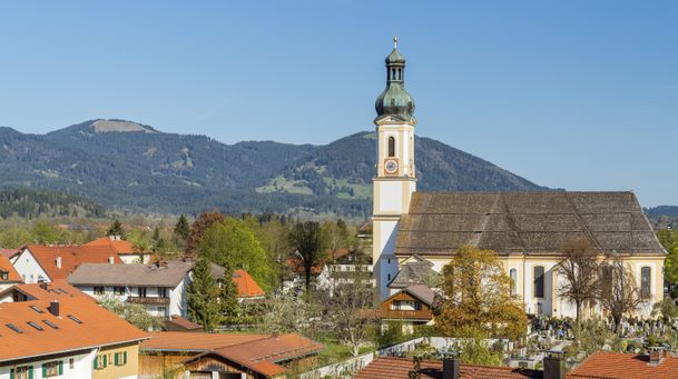
Lenggries - Hohenburg - Lasseln - Holz – Fleck
| Dauer | 3:00 h |
| Streckenlänge | 15.36 km |
einfach
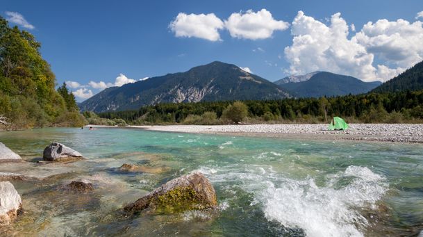
On the Isar cycle path: Lenggries - Bad Tölz circuit
| Dauer | 2:00 h |
| Streckenlänge | 22.00 km |
einfach
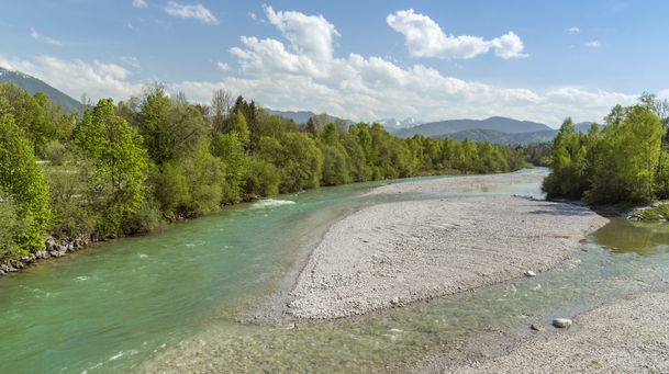
From Lenggries along the Isar to Bad Tölz
| Dauer | 2:00 h |
| Streckenlänge | 20.90 km |
einfach
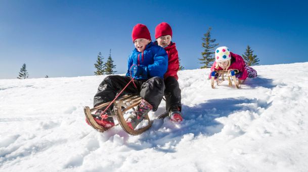
Rodelbahn am Milchhäusl Lenggries - Wegscheid
| Dauer | 0:27 h |
| Streckenlänge | 1.06 km |
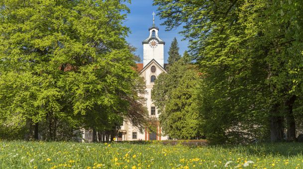
einfach
Round trip: Lenggries – Mühlbach – Lasseln
| Dauer | 1:30 h |
| Streckenlänge | 12.00 km |
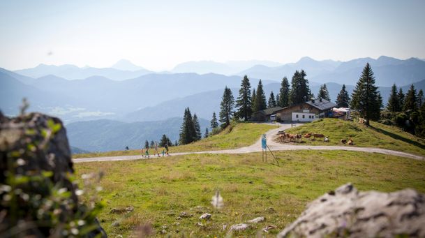
einfach
Lenggries - Brauneck - alpine pasture hike - "Almwanderung"
| Dauer | 2:00 h |
| Streckenlänge | 3.65 km |

einfach
Lenggries – Leger
| Dauer | 3:00 h |
| Streckenlänge | 11.40 km |
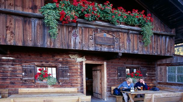
einfach
Trek Lenggries - Tegernsee
| Dauer | 4:30 h |
| Streckenlänge | 17.89 km |
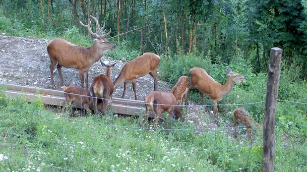
einfach
From Lenggries to the Reiseralm - "von Lenggries zur Reiseralm"
| Dauer | 1:00 h |
| Streckenlänge | 2.72 km |
einfach
short mountain trail - "kleiner Höhenweg"
| Dauer | 1:00 h |
| Streckenlänge | 2.56 km |
einfach
Round tour: Lenggries via Wegscheid to Leger
| Dauer | 1:00 h |
| Streckenlänge | 13.00 km |