


Hiking route Wandern/Berge Tour data:
Difficulty:einfach
Duration:3:00 h
Length:15.36 km
Ascent:160 hm
Descent:160 hm
Highest point:788 hm
Lowest point:672 hm
From the parking lot on Karwendelstreet you walk via the „Großherzogin-Maria-Anna-Weg“ to Hohenburg. From there you go to Mühlbach, pass the old farmsteads and walk gently uphill to the district Lassln. Now the forest road leads you to a marshy plateau with a steam. There you have the possibility to make a detour to the „Bauernrast“ / „farmer`s break“ and the natural monument „Groß Tann“. You get there by turning left on the next junction. You hike on the forest road round about 1.5 kilometers slightly going uphill till you reach the sign „Naturdenkmal Große Tann“. After 50 meters through the forest, you'll reach the so called “farmer`s break” with natural monument „Groß Tann“. You take the same trail as you used before, back to the forest road and than follow it till you reach the forest road you started on. Now the loop trail leads you to a parting of the trails. There you have the choice between going straight ahead to Hohenreuth/ Fleck (from there you can take a walking path to Bretonenbridge and down the Isar to Lenggries) or turn right. If you turn right, you'll head out of the valley toward Holz and Mühlbach.
In case of emergency
In case of emergency, please contact the nearest emergency dispatch center. You can reach them from anywhere in Germany by dialing 112.
All tours described by the Lenggries Tourist Information Office are undertaken at your own risk. The accuracy and completeness of the information cannot be guaranteed.
Streckenverlauf
Impressionen


Parken
Öffentliche Verkehrsmittel
Anfahrt
Weitere Touren
einfach
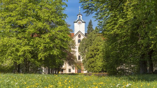
Round trip: Lenggries – Mühlbach – Lasseln
| Dauer | 1:30 h |
| Streckenlänge | 12.00 km |
einfach
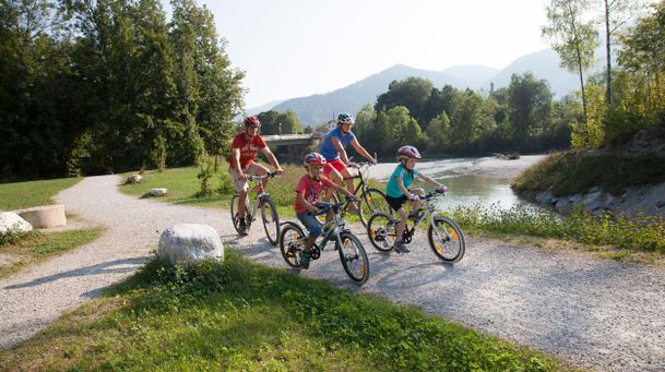
Round tour: Lenggries via Wegscheid to Leger
| Dauer | 1:00 h |
| Streckenlänge | 13.00 km |
einfach
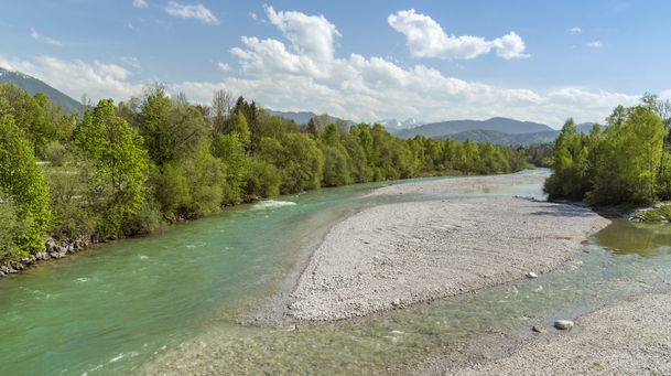
From Lenggries along the Isar to Bad Tölz
| Dauer | 2:00 h |
| Streckenlänge | 20.90 km |

einfach
Rodelbahn am Milchhäusl Lenggries - Wegscheid
| Dauer | 0:27 h |
| Streckenlänge | 1.06 km |
einfach
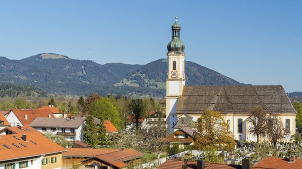
Lenggries - Hohenburg - Lasseln - Holz – Fleck
| Dauer | 3:00 h |
| Streckenlänge | 15.36 km |

einfach
Lenggries – Leger
| Dauer | 3:00 h |
| Streckenlänge | 11.40 km |
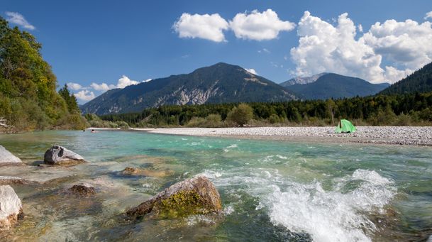
einfach
On the Isar cycle path: Lenggries - Bad Tölz circuit
| Dauer | 2:00 h |
| Streckenlänge | 22.00 km |
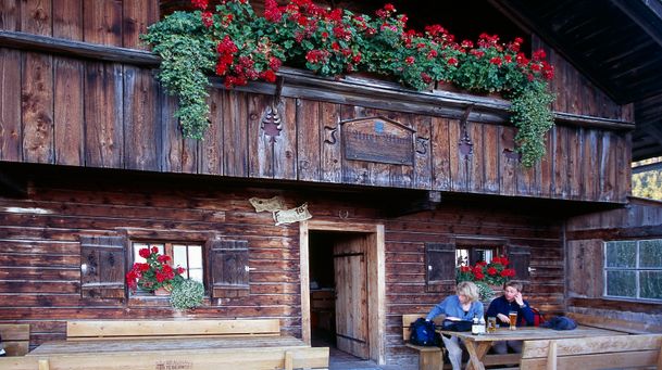
einfach
Trek Lenggries - Tegernsee
| Dauer | 4:30 h |
| Streckenlänge | 17.89 km |
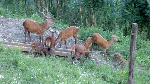
einfach
From Lenggries to the Reiseralm - "von Lenggries zur Reiseralm"
| Dauer | 1:00 h |
| Streckenlänge | 2.72 km |
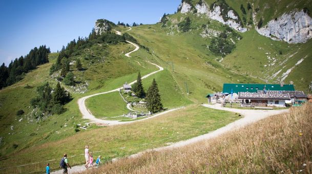
einfach
short mountain trail - "kleiner Höhenweg"
| Dauer | 1:00 h |
| Streckenlänge | 2.56 km |
einfach
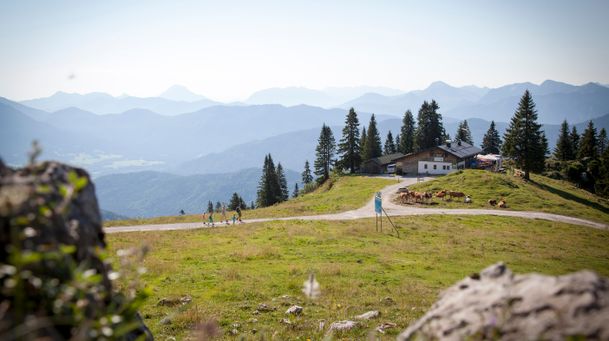
Lenggries - Brauneck - alpine pasture hike - "Almwanderung"
| Dauer | 2:00 h |
| Streckenlänge | 3.65 km |