


Hiking route Wandern/Berge Tour data:
Difficulty:einfach
Duration:2:00 h
Length:20.90 km
Ascent:70 hm
Descent:70 hm
At the Isarbridge ther`s a stair down to the Isarpath. You follow this path on the right side of the river (downstream) and come to the tributary of the Steinbach. Walk on and come to Obergries (here you have the possibility to go to Bad Tölz by train). The path goes across a small bridge to the other side of the Isar and you come to Arzbach. From here you follow the path until you reach Bad Tölz. There you can do a side trip to the historical old town. Numerous cafès and restaurants invite you to take a break.
To come back to Lenggries you can take the train or walk back till Arzbach on the Isarpath. In Arzbach you can go to one of the restaurants „Kramerwirt“, „Arzbacher Hof“ or „Schweizerwirt“. From there this time you walk on the western side of the Isar. Back in Lenggries you cross the Isarbridge and go back to the car park.
In case of emergency:
In case of emergency, please contact the nearest emergency dispatch center. You can reach them from anywhere in Germany by dialing 112.
All tours described by the Lenggries Tourist Information Office are undertaken at your own risk. The accuracy and completeness of the information cannot be guaranteed.
Streckenverlauf
GPX-Datei herunterladen
Impressionen


Parken
Öffentliche Verkehrsmittel
Anfahrt
Weitere Touren
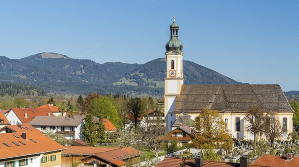
einfach
Lenggries - Hohenburg - Lasseln - Holz – Fleck
| Dauer | 3:00 h |
| Streckenlänge | 15.36 km |
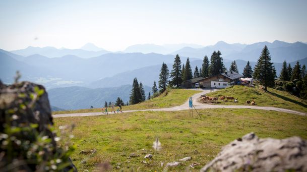
einfach
Lenggries - Brauneck - alpine pasture hike - "Almwanderung"
| Dauer | 2:00 h |
| Streckenlänge | 3.65 km |

einfach
Lenggries – Leger
| Dauer | 3:00 h |
| Streckenlänge | 11.40 km |
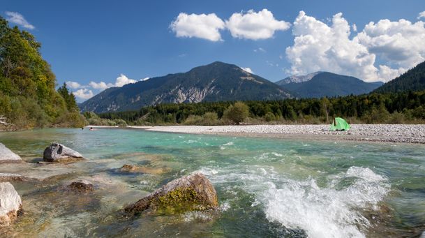
einfach
On the Isar cycle path: Lenggries - Bad Tölz circuit
| Dauer | 2:00 h |
| Streckenlänge | 22.00 km |
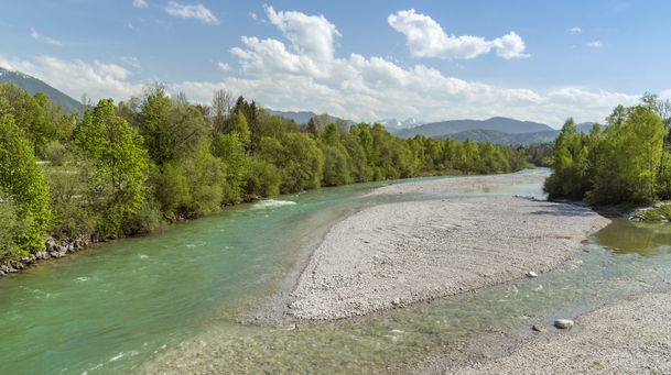
einfach
From Lenggries along the Isar to Bad Tölz
| Dauer | 2:00 h |
| Streckenlänge | 20.90 km |

einfach
Rodelbahn am Milchhäusl Lenggries - Wegscheid
| Dauer | 0:27 h |
| Streckenlänge | 1.06 km |
einfach
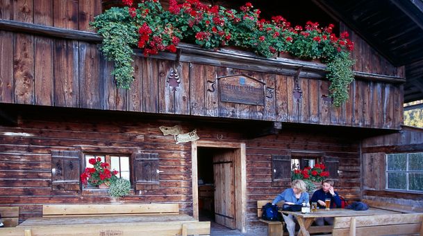
Trek Lenggries - Tegernsee
| Dauer | 4:30 h |
| Streckenlänge | 17.89 km |
einfach
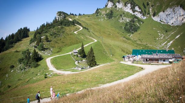
short mountain trail - "kleiner Höhenweg"
| Dauer | 1:00 h |
| Streckenlänge | 2.56 km |
einfach
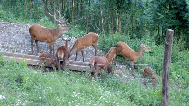
From Lenggries to the Reiseralm - "von Lenggries zur Reiseralm"
| Dauer | 1:00 h |
| Streckenlänge | 2.72 km |